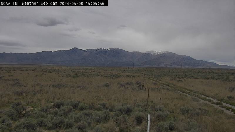


| Kettle Butte (West view) | Kettle Butte (East view) |

|

|
| Telegraph Hill (East view) | Telegraph Hill (West view) |

|

|
| INL Puzzle (West view) | INL Puzzle (South view) | INL Puzzle (East view) |

|

|

|
| Craters NP (view to South) | Craters NP (view to SW) | Timmerman Hill (view to North) |

|

|

|
| Junction 33/22 (view to NE) | Junction 33/22 (view to N) |

|

|
| Tilden Flats (view to W) | Tilden Flats (view to SW) |

|

|
| Lone Pine (NW view) | Lone Pine (SW view) |

|

|
| Gilmore Summit (North view) | Gilmore Summit (South view) |

|

|
| US 26 - Ririe (view to West) | Antelope Flats (view to West) | Antelope Flats (view to East) |

|

|

|
| Sheep Falls (view to North) | Osborne Bridge | Henry's Lake Flat (view to South) |

|

|

|
| ID 33 - Botts (view to NE) | ID 33 - Botts (view to NW) | ID 33 - River Rim (view to E) |

|

|

|
| Driggs (view to Targhee and Tetons ) |

|
| ID 33 - ID/WY Stateline (view to West) | ID 33 - ID/WY Stateline | ID 33 - ID/WY Stateline (view to East) |

|

|

|
| Sterling (view to NW) | Arbon Valley (view to North) | Arbon Valley (view to NE) |

|

|

|
| Cold Water | Raft River (view to NE) | Raft River (view to West) |

|

|

|
| 3 M West of Lava Hot Springs (view to NW) | Fish Creek Summit (view to South) | Gem Valley |

|

|

|
| Burley (view to North) | Burley (view to East) | Twin Falls (view to North) |

|

|

|
|
Modified: March 1, 2011 Dept. of Commerce | NOAA | NOAA Research | ARL | FRD Privacy | Disclaimer | Information Quality | webmaster |